Module 2: Harvesting on Your Woodland
A healthy woodland is the result of good management
As a woodland owner you have an awesome responsibility. Your woodland is a living, breathing entity and you are responsible for keeping it vibrant and healthy. Sound like a daunting task? It is, but with a little assistance you can maintain and even improve the health of your woodland, while reaping some of the rewards at the same time!
The first module in this home study series has helped you understand the process of planning, which is a critical phase in the effective management of your property. In that module you learned how to use basic knowledge of tree species and ages, watercourses and wet areas, wildlife habitat and other features, to strengthen your woodland goals and objectives. In other modules you will learn about the complex web of life that exists on your woodland, the importance of good financial planning, and values that lay within non-timber products.
This module will introduce you to the concepts of timber harvesting, and the factors that should be considered when planning the harvesting of trees. You will look at the types of equipment used in tree felling and extraction, the various products that can be generated from a harvest, and – perhaps most importantly – the careful planning that should be undertaken in order to ensure a safe, efficient operation that causes as little damage to the environment as possible.
As stated above, it is essential that you have a plan for the management of your woodland.
For most woodland owners, hiring the services of a forest professional to prepare a plan is a good idea. Forest professionals are trained to understand the complexities of woodland management and are well versed in plan preparation.
Central to every woodland stewardship plan is a map of your woodland. It should show the shape of the property when viewed from the air, as well as stand boundaries, watercourses, wetlands, wildlife habitat and the location of access roads, fire ponds and other service entities.
 |
|
Aerial photo & planning tools: (clockwise from left) GPS, wedge prism, diameter tape, clinometer and compass. |
Because the map is a key element of your stewardship plan, it is important that it s accurate and up-to-date. Having access to a recent aerial photograph is a necessary starting point of any woodland map, and defining features of the woodland (such as tree species and terrain) can be obtained from the photo.
 |
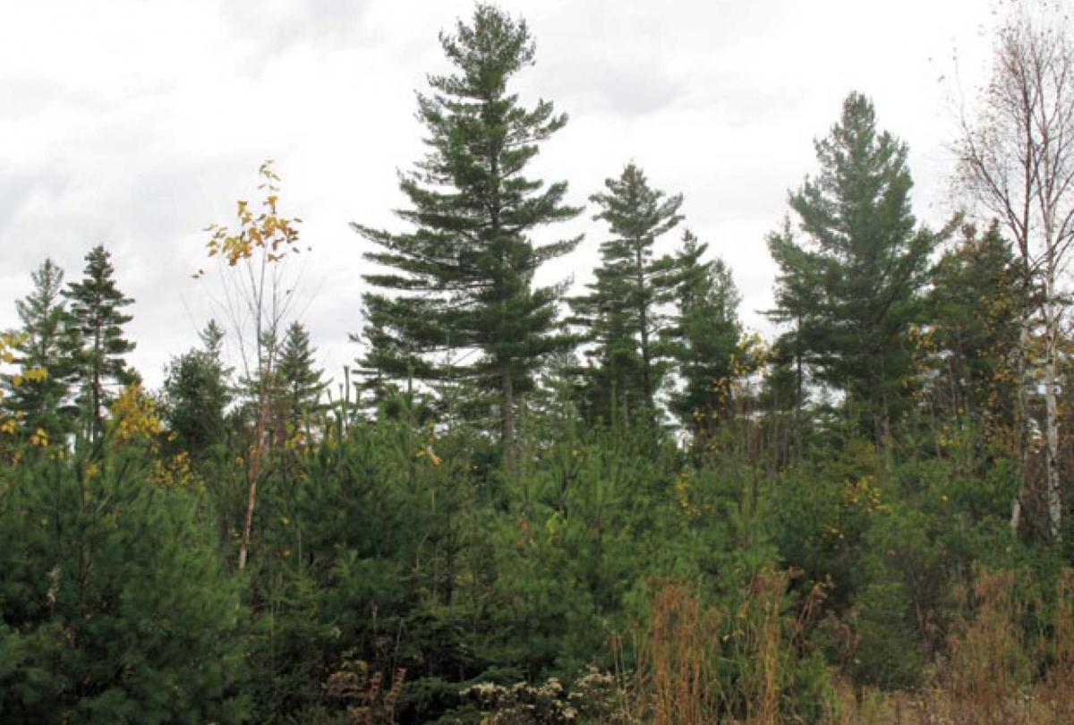
| Good planning is important to successful woodland management |
When viewed through an instrument called a stereoscope, aerial photos appear three- dimensional. Viewing the photo, much can be learned about terrain features, such as whether the ground is flat or rolling, the relative steepness of hills, and whether ravines are present.
Time spent studying aerial photos is usually time well spent, and can save a lot of walking, particularly on large woodlands.